MAP: Williamsburg Land Development Projects & Proposals
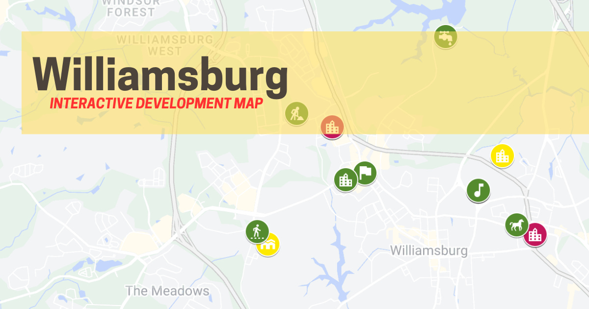
An interactive resource to help you stay current on important land development activities in Williamsburg, including rezoning, special use permits, sale of public land and more!
Though I can’t say for sure, I imagine that my experience growing up in Leesburg, Virginia was a lot like growing up here in Williamsburg. At the time, there were about 15,000 people living there; it still had a small-town feel and a certain way decisions were made and by whom.
Yet, since then, the sleepy pace of life has changed in Leesburg and Loudoun County, as both have been made “vibrant” by Northern Virginia’s sprawling development. Now, almost 50,000 people call the town home and Loudoun County has nearly 440,000 residents (almost as big as Virginia Beach). Where there were only 4 high schools total in Loudoun County and 1 in Leesburg when I graduated, the County now has 17 high schools plus multiple “academies” — Leesburg is now served by three high schools.
Lessons learned from Leesburg’s growth
Perhaps too late, the issues caused by poorly planned development finally caused the people of Leesburg to stand up and demand more accountability from their elected leaders, as well as greater input in future decisions. As a result, a land development process that had been kept clouded in backrooms and buried in government documents is now much clearer.
Easy to access information
Take for example, their Interactive Applications Map, which presents an easy to use, online platform to learn about and keep track of development throughout the Town. As this public facing system is tied directly into the Town’s GIS planning software, it is kept current with types of requests, status and even pictures of the properties involved.
Frequent, regular updates
On a quarterly basis, the Town also publishes a Development Activity Report which “tracks new commercial and residential projects through the Town’s development process from start to finish – from rezoning/special exception (if needed) through site plan review to construction and issuance of occupancy permits.”
Central location for data
These tools and resources are also easy to find in one place on the Town’s development portal, which it calls Community Development. From there, residents can easily find information on zoning and land use, engineering, preservation as well as upcoming meetings and hearings.
Better information for Williamsburg residents
As far as I can tell, there aren’t any user-friendly tools like these currently provided by Williamsburg, something I also noted while describing the work it took to compile City data in order to create a recent land development infographic. But as the pressure to develop large swaths of land builds, it is necessary that more steps be taken to ensure everyone in the community has a voice in the process. The first step is providing better information.
Where there’s a will, there’s a way
I think that the City could develop and provide information tools and resources like Leesburg, if they wanted. I bet Williamsburg already has most of the necessary planning software in place to implement transparency measures, just like Leesburg did. In fact, the City’s planning department already publishes planning related KPIs in a monthly dashboard — but since the aggregated data doesn’t link to any project specifics, it’s basically meaningless.
The real need is to ensure that easy to access, specific, accurate and timely development information is available to the public. Only then can they decide when/if to get involved. Providing that level of service is something I would be happy to see the City do themselves.
UPDATE: After doing some more digging into this issue, I found that the City once published a “planning pipeline map” back in 2023. But has not seemed to keep it updated since. The link was found here on a page the City calls “Ongoing Land Development Project Applications” which also doesn’t seem to be kept current.
Williamsburg Interactive Development Map
In the meantime, we’ll have to make do with what I can accomplish using Google Maps and public information. Please note that the data included in the map and database is not comprehensive or complete. As of today, it consists of only the data I compiled in order to generate the infographic mentioned above. Planned improvements include:
Backward looking — add more years of City Council, Planning Commission and ARB voting data; updates about project outcomes
Forward looking — current status of all known projects from notices, planning staff, ARB, Planing Commission, City Council and HTRFA
Expansion — include data from surrounding jurisdictions
So stay tuned! Without further ado … the Williamsburg Interactive Development Map … (link takes you offsite to Google Maps).

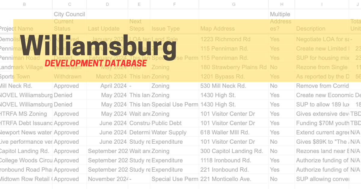
Williamsburg Development Database
The data used to generate this map is also available in this public spreadsheet which is hosted offsite by Google.

I strive for accuracy and completeness. As always, please let me know about any errors or omissions. Thanks for reading!
(Update 1-22-25: A grammatical error was corrected.)
(Update: 2-4-25: Additional information about City resources was added)
George Arbogust is Founder and Editor of the Williamsburg Independent. You can contribute too! Email tips and story ideas: contact@williamsburgindependent.com


